Rupin Pass
Altitude
Good Time
Difficulty Level
Days
5040m
May-Sept
Moderate
07
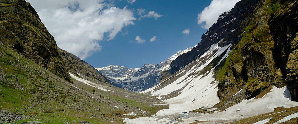
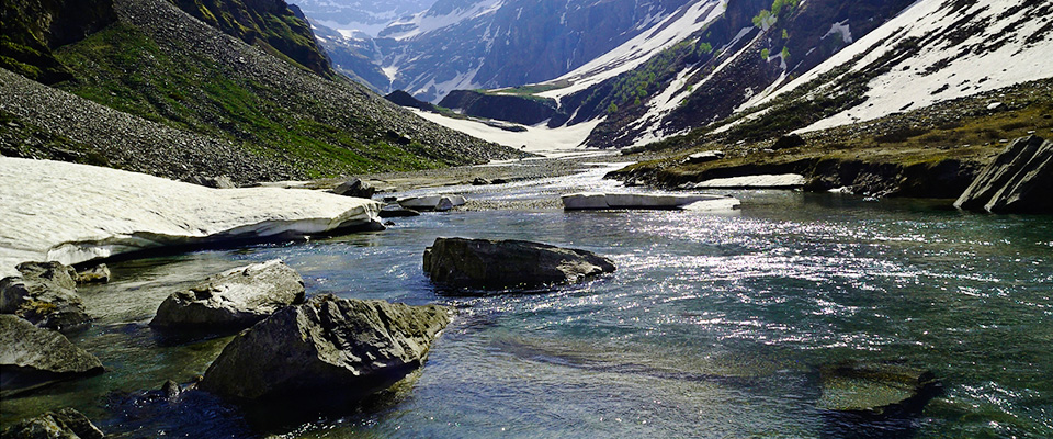
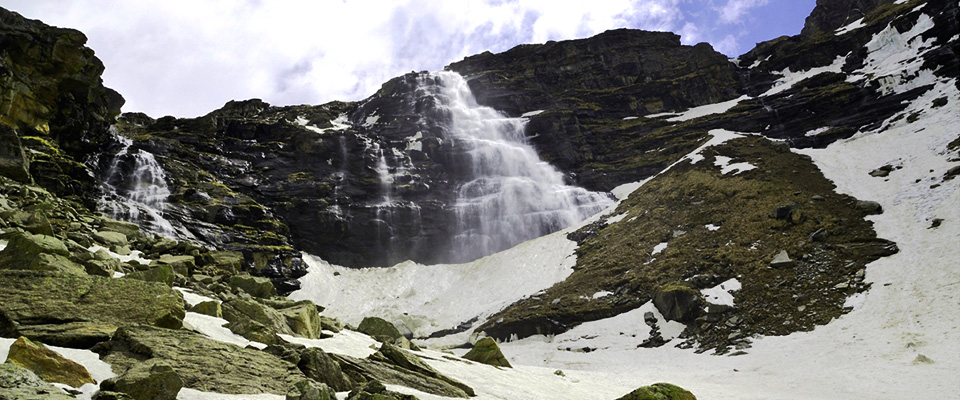
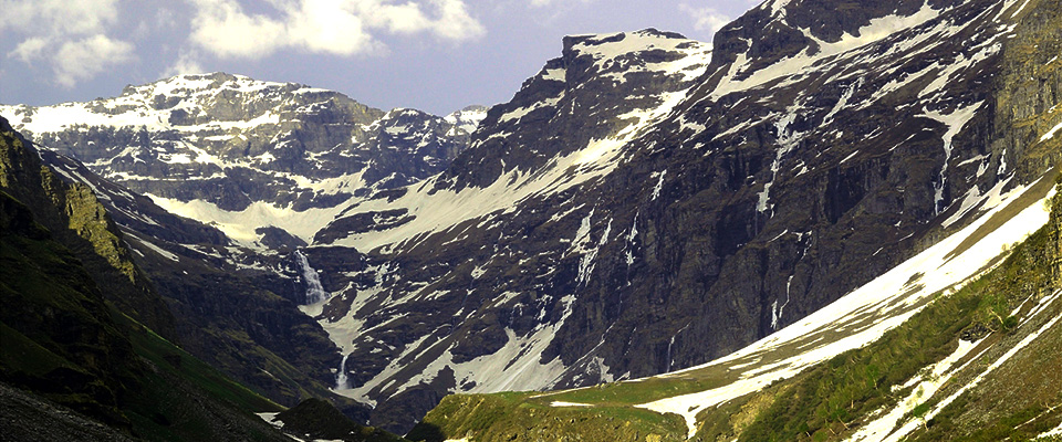
A trek full of surprises, towering waterfall, a meadow full of yellow marigolds, fir forest, snow bridge to cross, icy blue river, eerie trails dug out of rock faces, swaying wooden bridges, white Rhododendrons, glaciers and icy slopes, snow fields. The Rupin Pass trek has got it all. Trek starts at Dhaula (1560m), a sleepy hamlet of a dozen homes and the last road head of Uttarakhand. Dhaula overlooks the Rupin curving down a stony gorge in the river with the deafening sound.
ITINERARY
Touchbase : Mori
Approach :
By Air – Nearest airport – Dehradun
By Road –
Delhi > Dehradun > Mori
Reach Touchbase one day prior to the day your trek starts.
Stay is prearranged. *
Spend the day acclimatizing, Exploring or just relax. We’ll have an orientation meeting in the evening. Where you will meet with our Guide, Group leader and other members of group.
Drive next morning to the trailhead, Dhaula. Transportation is prearranged. *
Day 01
Sewa (1920m)
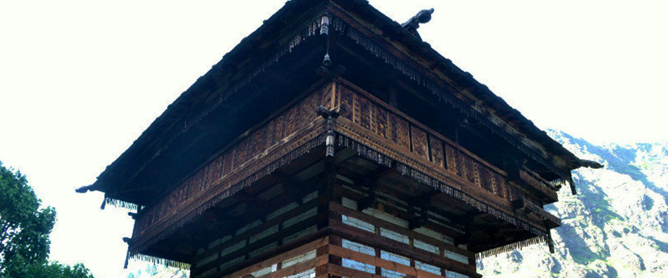
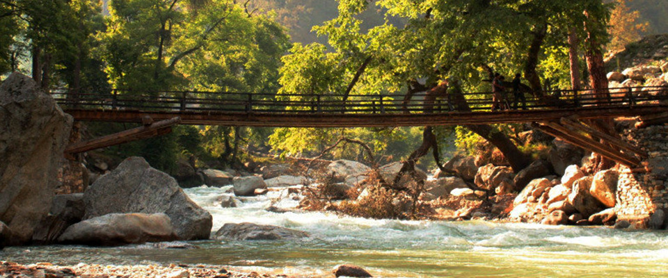
Take the trail heads up to Sewa Gaon (2040m). The trail starts to climbs sharply 200m outside the village. Rupin fans out 500 ft below you into a wide river bed. Visit temple of the Kinnauri tradition. After Sewa village the trail dips into a deep dark jungle. After the jungle we cross many rivulets of the Rupin River. The trail now goes over a small wooden bridge across a stream that flows into the Rupin. On either side are the states of Uttarakhand and Himachal Pradesh. We pitch our tents on the bank of river, place is called as Haldi Khad. We climb up from the banks to the road head of Gosangu. The village of Dodra, the remotest Tehsil of Himachal is above Gosangu and takes an half hours climb to get there.
Day 02
Jhaka (2650m)
A gentle trail with great waterfalls and then long climb to Jiksun village. Take a breather at Raj Gad. Stepping past Jiskun village, The village Jhaka is visible high up in the horizon. It feels like a cluster of houses hanging out of the mountainside. The village is Jhaka, our next camp site. It is a further 3½ km walk to Jakha, the highest and the last village on the Rupin pass trek. The trail out of Jiskun descends rapidly through a forest of deodars and walnut. Another trail heads up to a village, Dhara, higher than Jakha.
Day 03
Saruwas (3400m)
Trail passes through fields of the upper Jakha village before entering a magnificent forest of pine and maple. The forest ends as suddenly as it starts over a confluence of the Rupin with a tributary. Past Udukanal and just past Buras Kandi, Rhododendrons shrubs are everywhere. They bloom in march. Here they are in colours pink, violet and rare white. At the end of the valley, are the famous three stage Rupin waterfalls makes Saruwas an unforgetable campsite scenery.
Day 04
Dhanderas Thach (3560m)
Climb down to the valley of yellow marigolds. Cross the snow bridge to the left bank of the Rupin. Climb up till Dhanderas and we pich up tent to enjoy magnificient views of wide valley, waterfalls, flowering meadow.
Day 05
Rati Pheri (4250m)
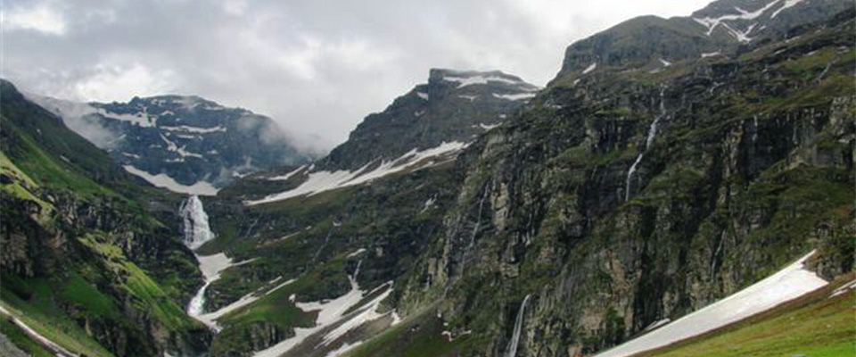
Getting to the upper water fall camp site is a series of switchback climbs over the three water falls (and many on snow bridges and patches). Climbing the final ridge we reaches the Upper water fall camp site. It is a large basin where icy flanks of mountains surround it. Below the flanks snow melts to form hundreds of little streams that join together to form the Rupin. The trail to Rati Pheri gains altitude in bountiful. An hour into the climb we reach to the ridge which opens out to the camping grounds of Rati Pheri.
Day 06
Rupin Pass (4650m) Ronti Gad (4100m)
Steep climb to the pass followed by a sharp descent. This is the longest day of trek and the most grueling and adventures.We get out of the camp by 5 am. Across vast acres of snow fields, you get a glimpse of the Rupin pass. Water source is limited until you cross the pass. The slow walk over the undulating snow fields is endless. There are no tracks on the snow and you need to keep a general sense of direction towards the Rupin pass gully. After an arduous trek of an hour and half comes to the foot of the Rupin pass gully. Climb through the Rupin pass gully is thrilling. The narrow snow laden gully voices echo and reverberate through its confines. The rocky world is surreal. For the first time to see the Sangla side of the mountain. On the Sangla side, the descent is steep and the only place to camp is in the vast meadows below the snowline. Unlike the Rupin side, getting down to the snowline is quicker and steeper. The slide down the slope is in three stages and each of the stage is so much fun that everyone wants to do it again. Within minutes you lose about 400 ft in altitude. Numerous melting streams trickle out of the snow below your feet joining the now roaring feeder of the Rukti gad. From the snowline, there is a sharp descent to the endless meadows that stretches all the way to Sangla Kanda (still 3 hours away). At the base of the descent there is a clear bountiful stream. We camp here. Another green paradise on earth to compliment a well deserved rest.
Day 07
Sangla (2679m)
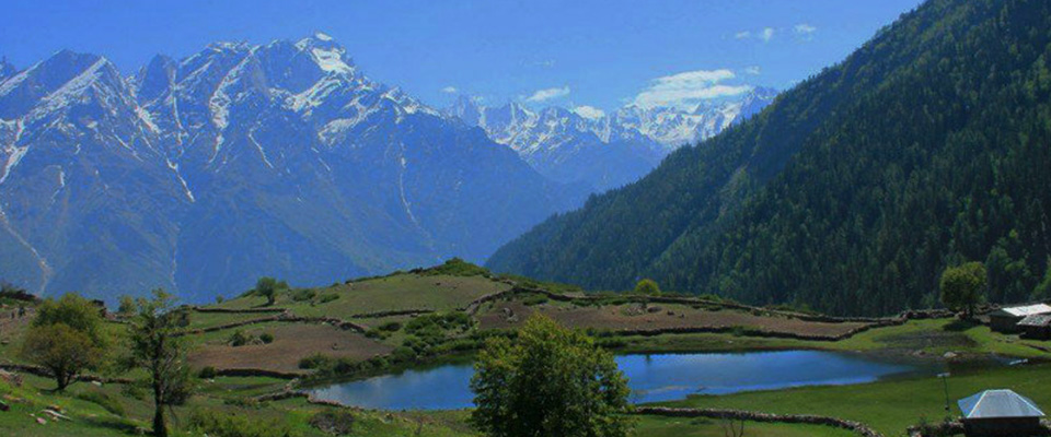
The trail out of the campsite is a shepherd’s trail that heads to the valley below. After an hour and half and a drop of over a 1,500 ft, the trail leaves the narrow valley of the Ronti Gad, overlooking the Rukti Gad, to the right, is the snow bound Nalgani pass. The sudden appearance of the Kinner Kailash range right in front takes your breath away. Far below are the first signs of civilization – the lake of Sangla Kanda (3600m) and the tiny settlement of the village. It takes another hour and half to get to the village. The trail to Sangla is now entirely along the Rukti Gad. The trail is broad and descends rapidly to Sangla passing quaint wooden houses and step farms. The woods of the blue pine give way to apple orchards and more of civilization. Half an hour later and a sharp descent to the Baspa. From the bridge over the Baspa, it is a steep 20 minute climb to the motorable road at Sangla.
The trek ends here. .